Wim van Velzen photography - landscape
NEDERLANDS |
home |
new |
landscape |
articles |
sitemap |
about |
contact
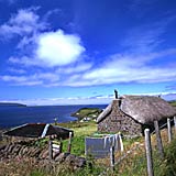
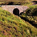
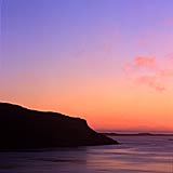
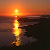
Isle of Skye (1999)
© Wim van Velzen
23 photographs - click on the images to enlarge
back to portfolios
 |
 |
 |
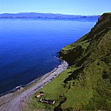
| Lower Ollach large |
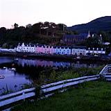
Portree 1 |
Portree 2 |
 |
 |
 |
 |
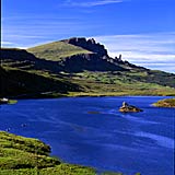
| Loch Fada |
The Storr 2 large |
Elishader 1 |
Elishader 2 |
 |
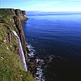 |
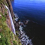 |
| Elishader 3 |
Elishader 4 |
Elishader 5 |
 |
 |
| tidal pool 1 |
tidal pool 2 |
 |
 |
 |
| Dunvegan 1 |
Dunvegan 2 |
Dunvegan 3 |
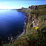
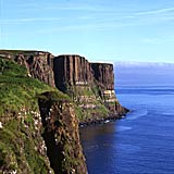
An t-Eilean Sgitheanach, Isle of the Wings, is the striking Gaelic name. The entire Isle of Skye consists of peninsulas, the Cuillins forming the backbone. Each wing has its own character, from the sweet Sleat in the southwest to the steep cliffs of Trotternish in the northeast.
Before the Clearances this rugged piece of land was densely populated: ten thousands of people made a living here. Nowadays only 9000 are left, living in scattered villages. A number of open-air museums preserve the past and keep it alive. As a visitor one wonders if the more than broad EU aided roads really bring improvement. But that is easy talking of course of a tourist looking for rest and authenticity.
One way or another it has always been nice weather during my visits to Skye - but I've heard enough tales of rain, taking all sight and joy.
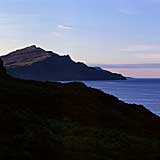
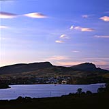
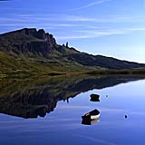
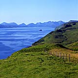
But if the weather is fine, it is marvelous: very clear views to the mainland or the always calling Outer Hebrides or Eigg and Rhum. The ridges of the Storr stand out sharply against the upside down keels of the Cuillins.
And please: an island should not be reached by bridge. Avoid that expensive toll bridge and take the ferry between mainland Glenelg and Kylerhea. An experience in itself and it is very easy to visit the Glenelg brochs and the otter station of Kylerhea.
Isle of Skye 2005 |
return to top
